LandGlide – The Essential Mobile App for Real Estate Investors
LandGlide revolutionizes property research by putting comprehensive parcel data directly in your pocket. This powerful mobile app allows real estate investors, agents, and developers to instantly access accurate property lines, ownership details, and key parcel information while in the field. By eliminating the need for desktop research or county office visits, LandGlide accelerates due diligence, enhances site analysis, and empowers faster, more informed investment decisions.
What is the LandGlide App?
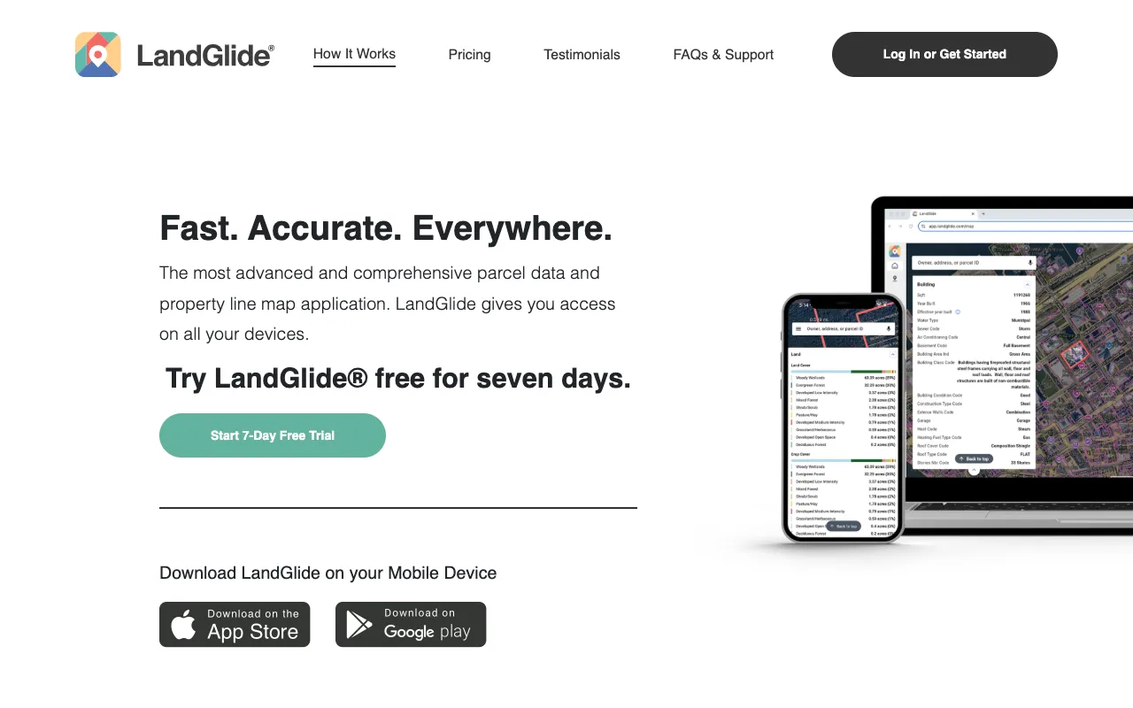
LandGlide is a specialized mobile application designed for property professionals who need immediate access to land parcel information. It functions as a digital parcel map overlaid on satellite imagery, providing users with a clear visual of property boundaries coupled with essential data points like owner names, addresses, acreage, and tax IDs. Unlike traditional GIS systems or county websites, LandGlide is optimized for mobile use, offering a streamlined, user-friendly experience that delivers answers in seconds, not hours.
Key Features of LandGlide
Interactive Parcel Maps with Property Lines
Visualize precise property boundaries over high-resolution satellite and map views. Tap on any parcel to instantly reveal its dimensions and shape, crucial for evaluating lot size, potential subdivisions, or understanding easements.
Comprehensive Ownership & Tax Data
Access current owner names, mailing addresses, and assessed property values. This feature is vital for identifying off-market opportunities, conducting owner research, and preparing for direct outreach campaigns.
Offline Map & Data Access
Download maps for specific areas to access parcel data without an internet connection. This is indispensable for investors scouting properties in rural areas or locations with poor cell service.
Measurement & Area Tools
Use built-in tools to measure distances and calculate the square footage or acreage of any parcel directly on your screen. Perfect for quick feasibility checks and initial project planning.
Who Should Use LandGlide?
LandGlide is an indispensable tool for any professional involved in real property transactions or analysis. It is ideally suited for residential and commercial real estate investors conducting drive-by due diligence, wholesalers searching for motivated sellers, land developers scouting new sites, real estate agents preparing for listings or showings, and appraisers or inspectors needing quick parcel verification. Its mobile-first design makes it perfect for fieldwork.
LandGlide Pricing and Free Tier
LandGlide offers a fully-featured free tier, allowing users to access basic parcel data and maps at no cost, which is excellent for casual use or trying the app. For power users requiring unlimited searches, advanced data layers (like zoning, flood plains, or school districts), and premium features, LandGlide provides monthly or annual subscription plans. This flexible pricing ensures both novice investors and seasoned professionals can find a plan that matches their research intensity and budget.
Common Use Cases
- Identifying property owners for off-market real estate deals
- Verifying lot lines and boundaries before making a land purchase
- Conducting drive-by due diligence for house flipping or rental investments
Key Benefits
- Dramatically reduces property research time from hours to minutes
- Enables informed investment decisions directly from the property site
- Increases deal flow by efficiently identifying and researching potential targets
Pros & Cons
Pros
- Unparalleled convenience for mobile property research
- User-friendly interface requiring minimal training
- Reliable, parcel-specific data aggregated into one simple app
- Free tier available for basic functionality
Cons
- Advanced data layers require a paid subscription
- Data accuracy is dependent on county recorder updates, which can have a lag
- Primarily a U.S.-focused tool with limited international coverage
Frequently Asked Questions
Is LandGlide free to use?
Yes, LandGlide offers a robust free tier that provides access to basic parcel maps, property boundaries, and owner information. For unlimited searches and advanced data like zoning or soil maps, a paid subscription is required.
Is LandGlide good for real estate investors?
Absolutely. LandGlide is considered one of the best mobile tools for real estate investors. It transforms smartphones into powerful research devices, allowing investors to quickly assess properties, find owner information, and analyze parcels directly from the field, which is essential for competitive markets and efficient due diligence.
How accurate is the data in LandGlide?
LandGlide sources its data from county assessor and recorder offices, providing a high degree of accuracy for parcel boundaries and ownership records. It's important to note that there can be a processing lag, so for final legal decisions or contracts, always verify critical information with official county records.
Conclusion
For real estate investors who value speed, efficiency, and actionable intelligence, LandGlide is a non-negotiable tool in the modern arsenal. It effectively bridges the gap between raw public data and practical, on-the-ground insight. Whether you're a beginner using the free plan to learn the market or a professional leveraging premium data for complex deals, LandGlide empowers you to make smarter, faster investment decisions directly from your mobile device.